
DOE is collaborating on an 18-month initiative to gather extensive weather, ocean, and wildlife data near the sites of active offshore wind farms and lease areas off the coast of the Northeast United States.
Wind Energy Technologies Office
July 18, 2024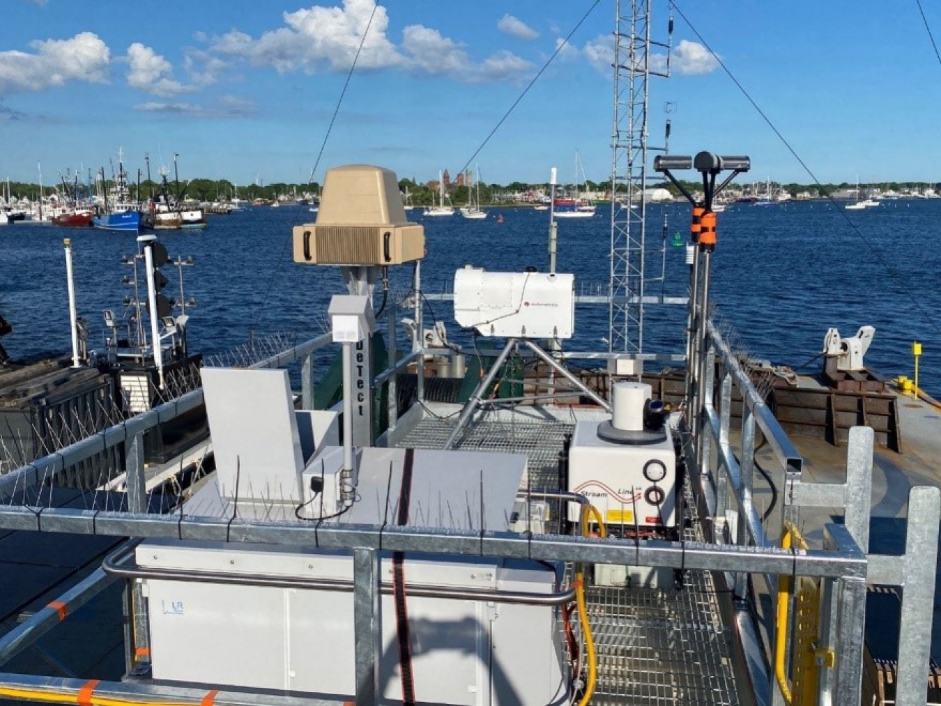
In support of the Wind Forecast Improvement Project, DOE is collaborating with DeTect Inc, the National Oceanic and Atmospheric Administration, the Pacific Northwest National Laboratory, and Woods Hole Oceanographic Institution on an 18-month initiative to gather extensive weather, ocean, and wildlife data near the sites of active offshore wind farms and lease areas off the coast of the Northeast United States. This effort will use a specially designed radar system to gather met-ocean-environmental observations onboard an autonomous moored barge to improve the design and operation of offshore wind turbines and wind farms.