
Marine energy developers can now access more data on the tidal energy resources available in Alaska’s Cook Inlet, wave hindcast data up to 42 years, and a new tool to estimate how much energy their device could produce at various U.S. sites.
Water Power Technologies Office
March 1, 2023
Marine Energy Program
Foundational R&D
Project Name: Model Validation and Site Characterization for Early Deployment MHK Sites and Establishment of Wave Classification Scheme
Project Team: National Renewable Energy Laboratory (lead), Pacific Northwest National Laboratory, Sandia National Laboratories, University of Hawaii, North Carolina State University, TerraSond Limited, Ocean Renewable Power Company, Integral Consulting, and Georgia Institute of Technology
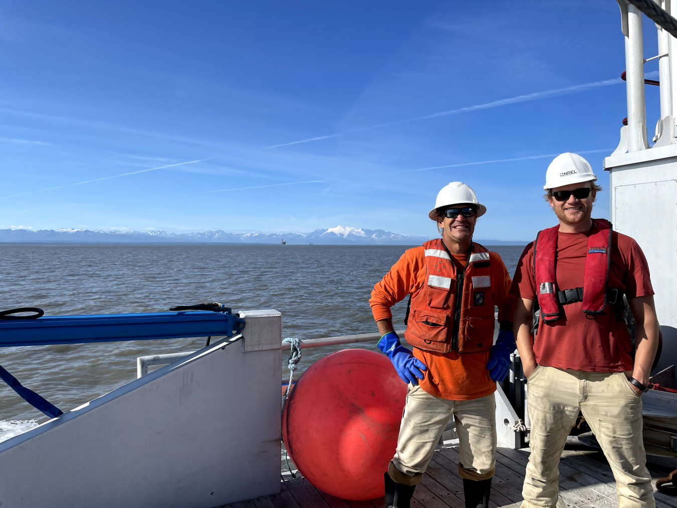
Lead Recipient Location: Cook Inlet, Alaska, with information on additional marine energy resources located across the country

Between 2021 and 2022, a multi-lab research team created a new tool for marine energy developers to estimate how much energy their device could produce in specific ocean and river sites, expanded the most comprehensive data available on marine energy resources across the United States (specifically in Alaska’s energetic Cook Inlet), and published the data in the free, publicly available Marine Energy Atlas. This is part of an effort led by a team of researchers from the National Renewable Energy Laboratory (NREL), Pacific Northwest National Laboratory (PNNL), and Sandia National Laboratories (Sandia) to gather information on wave, tidal, and current resources available in U.S. waters and to provide data on wave heights, extreme wave events, turbulence, velocity, sediment, and other conditions. Developers need this information to build technologies that are well-suited to survive in these environments and produce high amounts of energy.
The project team—which included partners from several universities and companies—enhanced the Marine Energy Atlas and, as a result, helped to advance the marine energy sector. To help the industry identify promising sites for specific wave technology designs, NREL researchers added a new tool to the Marine Energy Atlas. With the new Capacity Factor Tool, users can upload information on their wave energy device to estimate how much electricity it would produce. The tool also generates a map of the most promising sites for that device.
In Alaska, NREL researchers continued to collect data in the Cook Inlet, which contains one of the largest tidal energy resources in the world. In 2022, the team focused on the Inlet’s East Foreland site, an especially promising location for tidal energy. To advance tidal energy technologies, developers need demonstration sites that share similar environmental characteristics—like sediment, ice, velocity, turbulence, and the presence of fish and marine mammals—to where these devices may actually be deployed. The NREL team’s data on the East Foreland site provides technology developers with at least some of the information they need to plan their demonstration projects. Such data are critical to improve the cost, reliability, and performance of devices.
The project team also collected data beyond Cook Inlet. Researchers at PNNL and Sandia expanded their comprehensive, high-resolution wave hindcast dataset (which captures historical data on wave climates) for sites across the United States and its territories to include an additional decade of wave data, now covering information from 1979 to 2020. This data allows researchers to create a more accurate estimate of conditions at specific sites. During 2022, PNNL also expanded its coastal ocean model of Washington’s Salish Sea. PNNL also expanded its coastal ocean model of Washington’s Salish Sea with help from researchers at the Georgia Institute of Technology.
Now, all that data is freely available in the Marine Energy Atlas to provide technology developers with a clear understanding of the resource they will encounter in U.S. waters. Developers can also use the tool to identify sites that hold the greatest promise for marine energy projects, while energy planners can better understand the contribution marine energy could make to the grid. Even ocean engineers, like offshore wind energy developers, could tap into the atlas’ data to learn how to optimize their builds for specific wave climates and ocean sites. Next, this multi-lab team will use its comprehensive data to help inform international marine energy standards, so the marine energy industry can continue to advance toward commercial success.
Foundational R&D Projects
-
 More than 100 experts shared ideas on research needs and funding gaps that must be addressed to advance marine energy and help build longer lasting and more affordable and efficient marine energy solutions.
 -
 Ocean Renewable Power Company developed a computational analysis tool that helped the company create new marine energy turbine foil (or blade) designs that reduce costs and increase energy capture by up to 24%.
 -
 A project team led by Ocean Motion Technologies deployed a prototype wave energy converter technology that can harness power from waves as small as those created by boat wakes.
WPTO's Marine Energy e-newsletter shares news and updates on tools, analysis, and emerging technologies to advance marine energy.
The WPTO e-newsletter brings funding opportunities, events, publications, hydropower, and marine energy updates directly to your inbox.