DOE Hosts Second Annual Geospatial Science Poster Competition
Office of the Chief Information Officer
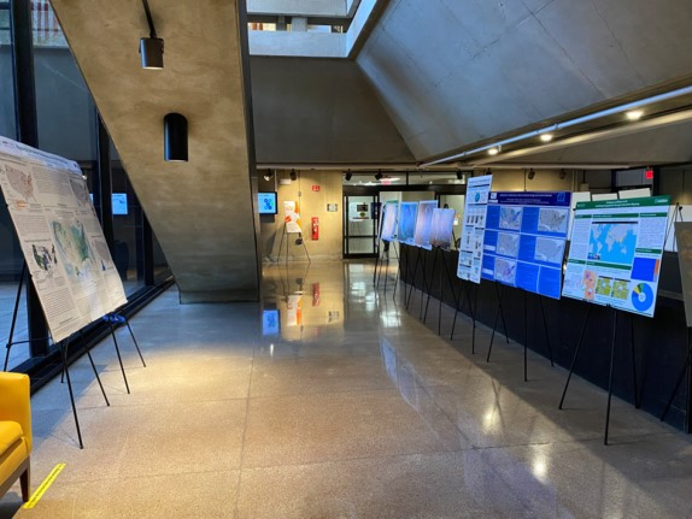
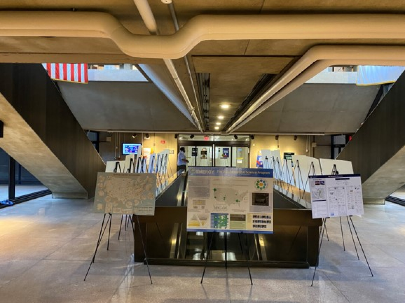
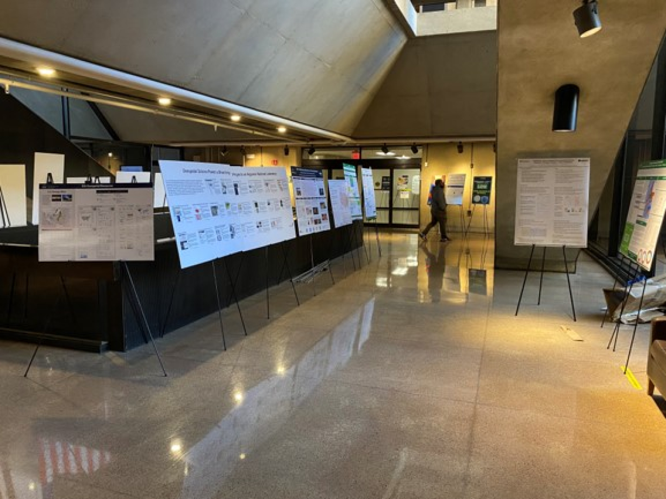
December 14, 2023In celebration of National GIS Day, the DOE Geospatial Science Program hosted its’s second annual poster competition in DOE's James V. Forrestal building from November 13-17th. Twenty-one posters reflecting various geospatial science topics were entered from DOE national laboratories and program offices spanning the country. The judging panel, consisting of Rob King (DOE CDO), Joshua Delmonico (FGDC Director), and Matthew Bourassa (DHS-GIO), evaluated the posters in the following three award categories:
| Best Cartography | Best Departmental Element (DE) Mission Alignment | Best Geospatial Program |
| Visual Appeal | Connection to DE goals | Technical Maturity |
| Use of Cartographic Standards | Impact on DE decision making | Stakeholder Engagement |
| Technical Accuracy | Intra-DE collaboration | Data Management |
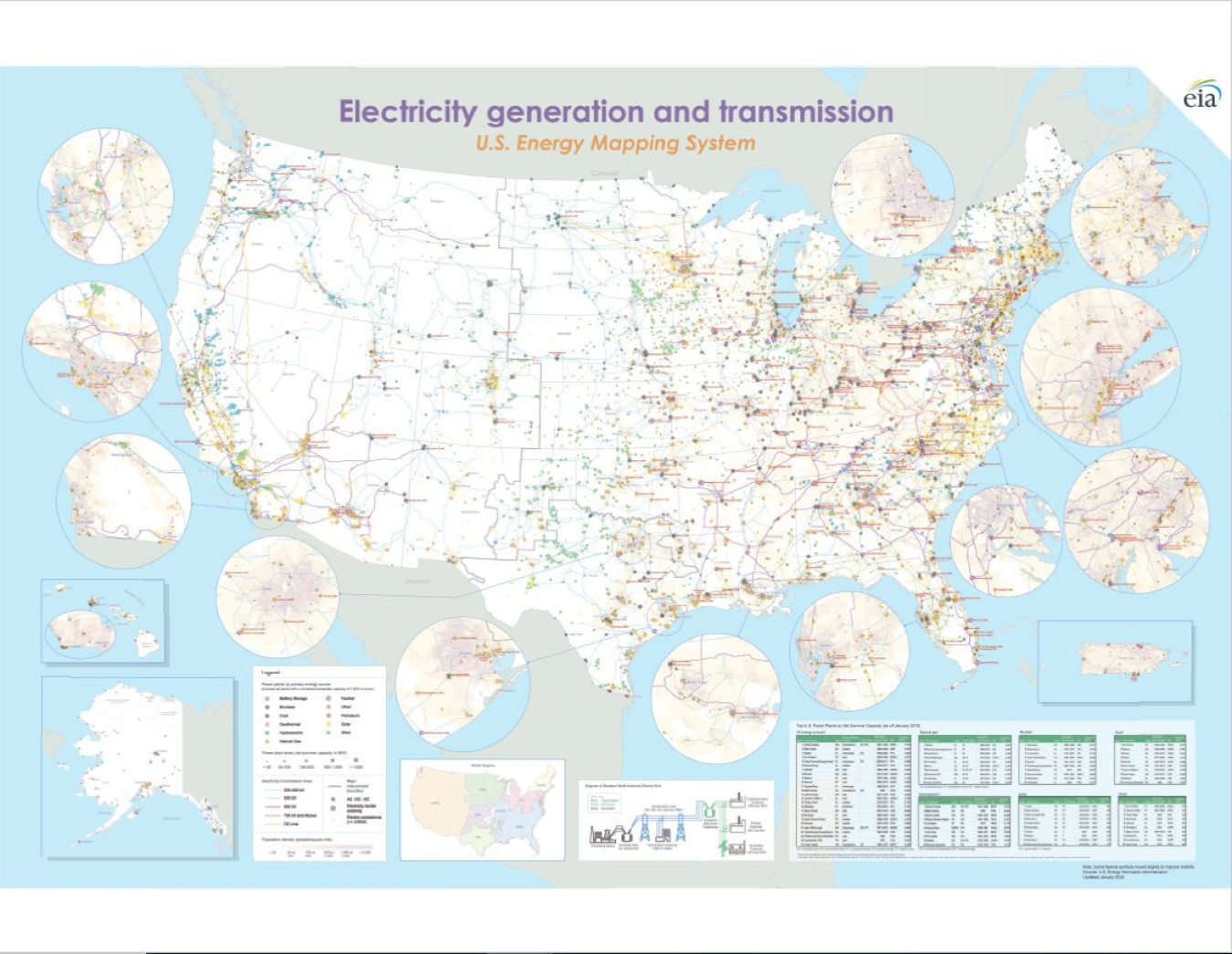
Geospatial science helps to drive numerous projects and activities across the DOE enterprise by delivering valuable information to decision-makers. It is used to catalyze discovery and provide actionable intelligence to enhance and achieve a wide range of our nation’s energy-related goals. The DOE Geospatial Science Program supports the Department’s geospatial activities, including the development and use of geospatial data, providing structure and leadership to ensure coordinated and effective curation, and sharing of data to advance innovation across all DOE mission areas.
To complement the poster competition, daily brown-bag seminars were provided to demonstrate how Departmental elements across DOE integrate geospatial science into everyday workflows to increase efficiency, inform data-driven decisions, and provide intuitive, transparent access to organizational information. The brown-bag seminars touched on mapping energy communities, hydrologic data exploration, rapid analytics for disaster response and more, providing real-world examples of how geospatial science is being used across DOE.
Congratulations to the winners of DOE's second annual Geospatial Science poster competition!
Best Cartography Posters:


Best Departmental Element Mission to Alignment Posters:
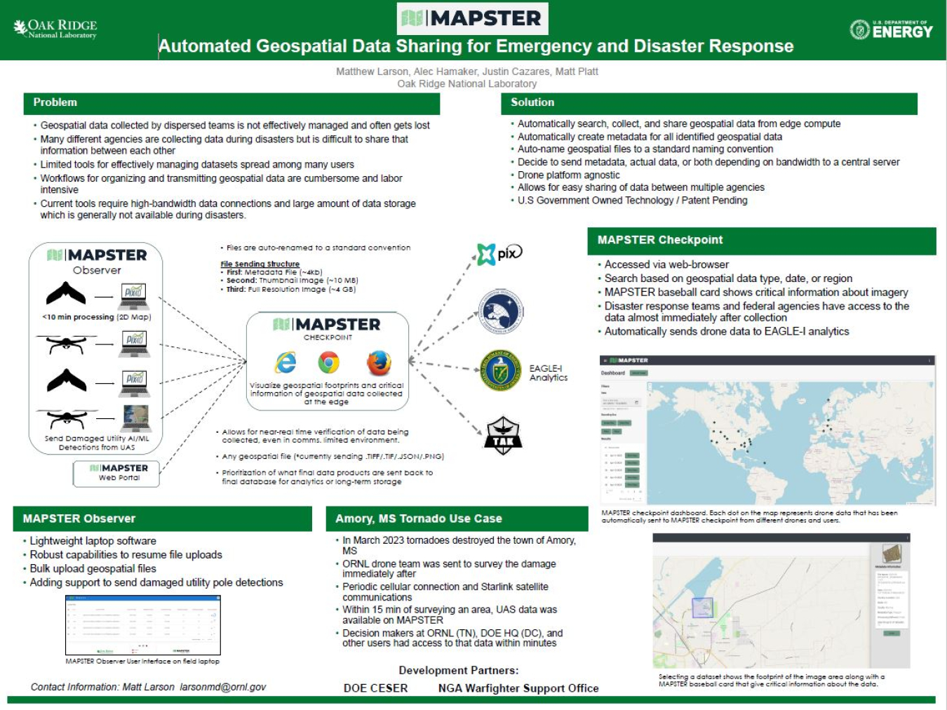
Best Program Geospatial Program: ORNL